Story and Photos by David Haynes
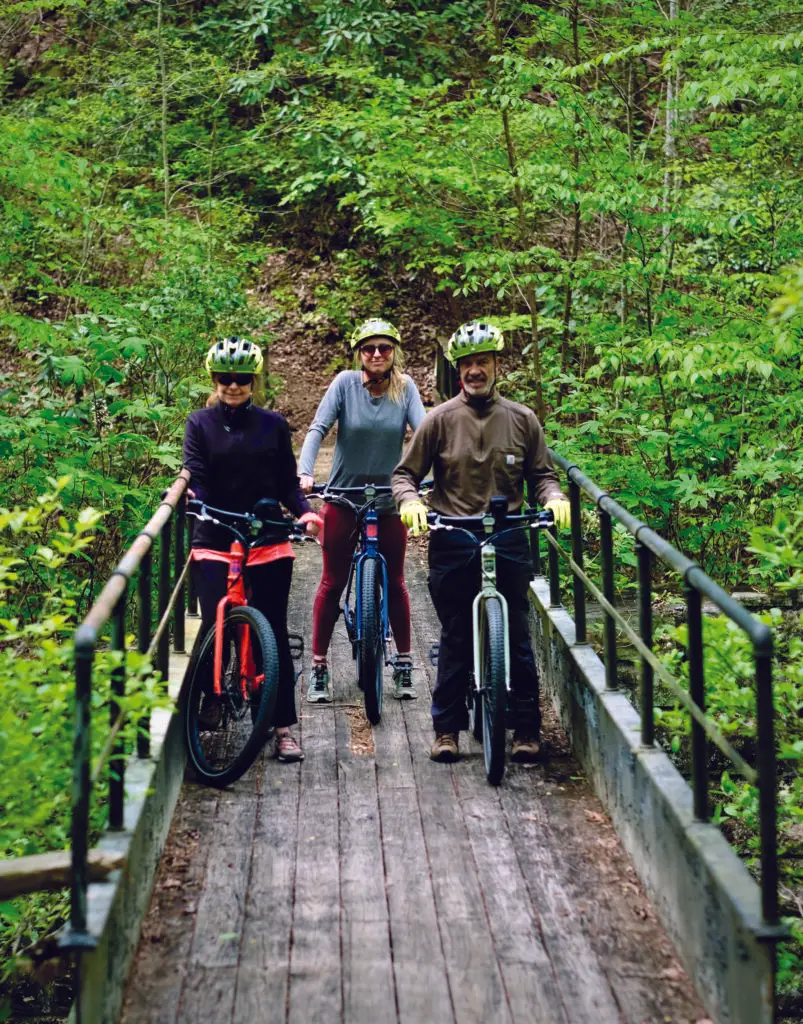
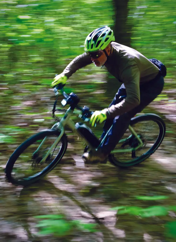
(L-R) Tiffany Parnell, Courtney Willingham and Giorgio Torregrosa pause on the unfinished CCC bridge during a recent bike ride.
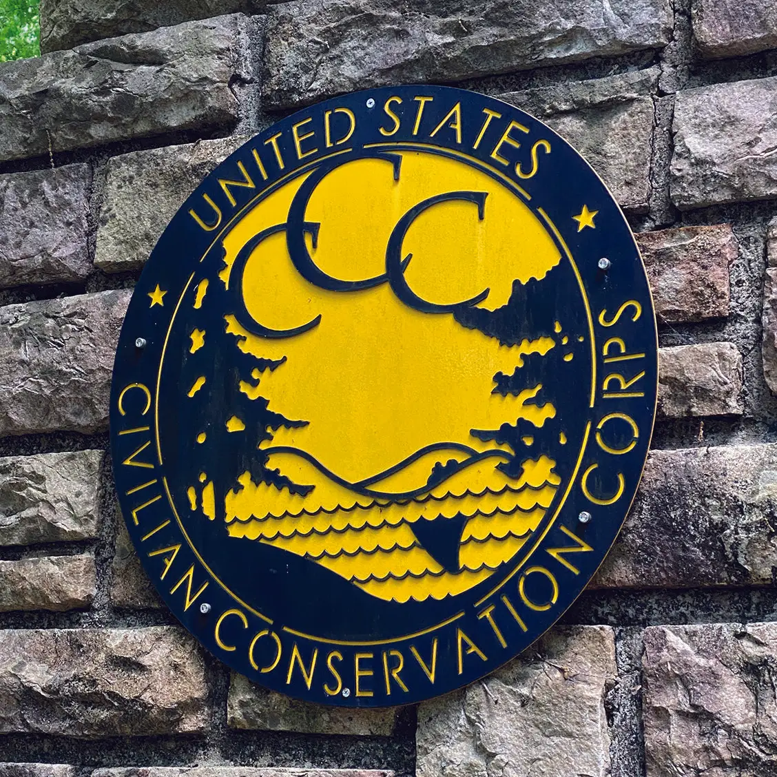
Anyone who’s visited, hiked, bicycled or camped in an Alabama state park or national forest has benefited from the work of the Civilian Conservation Corps (often shortened to “CCC”) done nearly a century ago.
Created during the Great Depression in the early 1930s as part of the “New Deal” to create jobs for single, unmarried young men, CCC camps sprang up throughout the United States. From 1933 to 1942, some three million young men were part of the CCC, building parks, campgrounds, trails, roads and other natural resource conservation projects on public lands.
Today, at DeSoto State Park in northeast Alabama, evidence of the CCC’s contributions 90 years ago still form the backbone of the park’s infrastructure. Stone quarried on site was used to construct buildings, culverts, bridges and other features of the park that borders Little River north of Little River Canyon.
One such project was a road that was planned to connect the park to the canyon, then known as “May’s Gulf.” Unfortunately, the CCC was disbanded before the road was complete after the Japanese attack on Pearl Harbor in 1941.
However, the unfinished roadbed, many stone culverts and bridge foundations remain, untouched for nearly a century, covered by the mosses and flowering flora of this unique location where Little River’s entire length flows atop Lookout Mountain.
One such location is the “Unfinished CCC Bridge” that offers hikers and mountain bikers several attractive options for access.
The trailhead is approximately one-half mile past the DeSoto State Park lodge and restaurant (follow the road past the cabins and chalets until it turns to dirt). Parking for the old CCC roadbed and other trail options for both walking and bicycling are available at this trailhead.
The easiest and quickest option is to simply follow the CCC roadbed down to the unfinished bridge (approximately 3.5 miles round trip). Along the road in June are numerous mountain laurel and rhododendron blooms, as well as other native wildflowers and ferns.
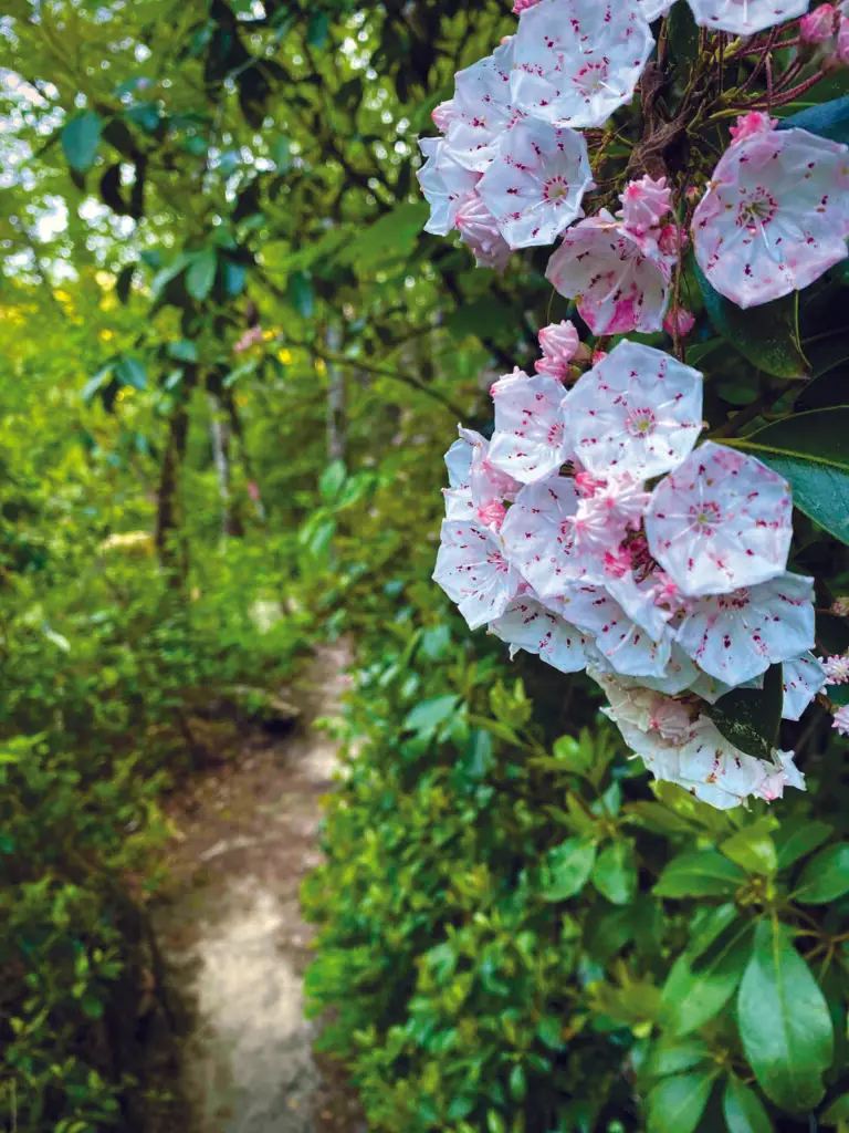
The unfinished bridge over Straight Creek has three massive stone bridge pilings that rise about 30 feet above the creek. A wood and steel footbridge has been added to allow hikers to cross the lush ravine. The trail continues another 1.5 miles to Road 5 in the Little River Wildlife Management Area. Along that trail are several erosion control culverts and other stoneworks, including two gigantic culverts that are over 100 feet long.
Another option to reach the unfinished bridge from the state park trailhead is the Gilliam Loop mountain bike trail. This 3.5-mile loop begins and ends at the CCC Road trailhead and parallels the CCC roadbed on one side, then crosses it and parallels the other side. This is one of the easier and more scenic mountain biking trails in the state park.
Other options in this area include Exit Trails, 1, 2 and 3 that descend to the west fork of Little River, and the DeSoto Scout Trail that follows the river downstream past the confluence with the river’s east fork.
Because these trails are interconnected with the CCC road, a walker or bicyclist can do a one-mile, two-mile, three-mile or other distance loop and not have to backtrack.
Other trails
In all, DeSoto boasts more than 50 miles of hiking trails and around 15 miles of mountain bike trails including a new trail that was added last year.
Other popular mountain bike trails include the Family Bike Loop (2.5 miles), Never-Never Land Loop (3.8 miles), Vizzneyland Loop (1.2-mile extension of Never-Never Land Loop) and CCC Quarry Trail (1.1 miles).
Hikers can explore easy to rugged trails to Lost Falls, Azalea Cascade, Laurel Falls, as well as the 1,000-foot Talmadge Butler elevated boardwalk trail that connects to a series of other trails near the park’s main campground.
Two other hikes are about six miles north of the main park at DeSoto Falls. The more challenging one descends .7-mile to the bottom of the 104-foot waterfall. In early June this rocky trail is bursting with rhododendron and mountain laurel blooms.
Another, much easier, .45-mile hike from the same trailhead follows a bluff to a breathtaking overlook view of DeSoto Falls at almost eye level.
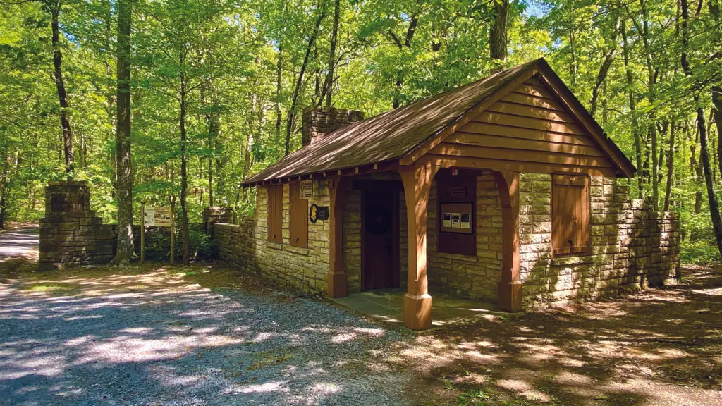
DeSoto State Park is also home to the CCC Museum which is housed in one of the original stone buildings from the 1930s. Hours are Saturdays noon-4 p.m., April through November, or by appointment (call 256-845-0051). The museum features displays of tools and vintage photographs of the CCC’s history and legacy.
DeSoto State Park, being situated atop Lookout Mountain at over 1,500 feet of elevation, also enjoys a reputation for being one of the coolest parts of Alabama during the summertime heat.
For additional information on these and other trails and activities at DeSoto State Park, visit the park’s website at alapark.com/parks/desoto-state-park.